
Bronze Navigator Award - Bennachie
Navigate with confidence - with the National Navigation Award Sheme

Start Time: 10:00 on day one.
Location: Bennachie Visitor Centre.
Walk Level: Level 1-2 walk. Find out more about our walk grading here.
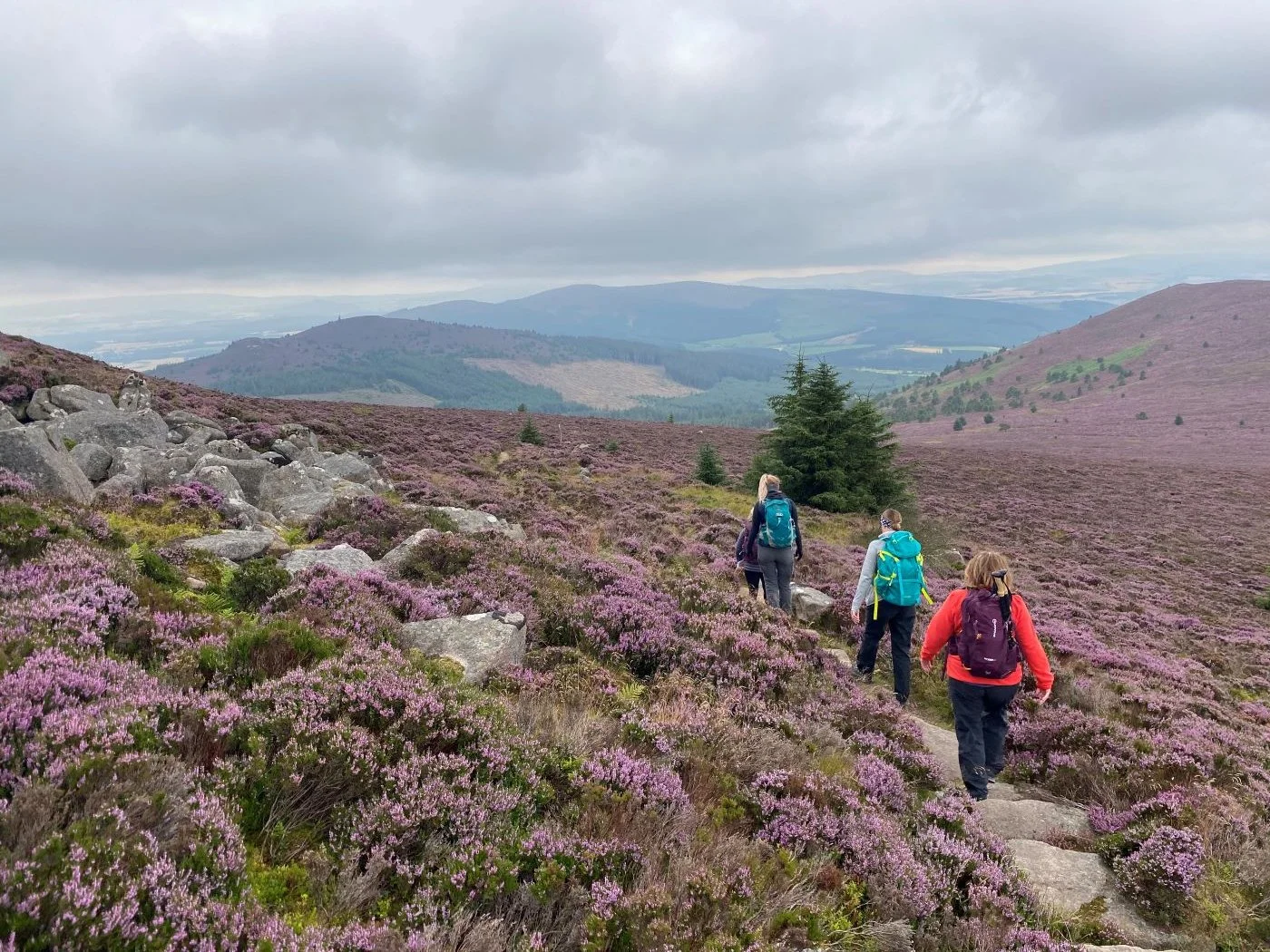
Terrain: Well maintained forest and hill path.
Requirements: Suitable for beginners.
If you're a group or an individual and would like to book a private hill day or course please contact us
National Navigation Award Scheme - Bronze Award
We are pleased to offer this two session course in association with the National Navigation Award Scheme.
The NNAS approach is to steadily build the levels of understanding to ensure the training is embedded and candidates can confidently progress through the stages to become excellent navigators. All Hillgoers instructors have undergone the Tutor Award Training course.
Aimed at novice level, the Bronze course will train you to plan and confidently follow routes in the countryside using paths and tracks. Successful candidates will receive a nationally recognised navigation award at Bronze level accredited by the Scottish Credit & Qualifications Framework (SCQF) at Level 4, and 2 SCQF credit points are awarded on completion.
These courses are limited to 8 places.
Bronze learning outcomes covered:
Navigate using a variety of maps and scales.
Use 4 and 6 figure grid references with worded descriptions to define the position of a map feature and to locate a feature on the ground.
Orientate the map using handrails, obvious point features and major landforms.
Use linear features (e.g. paths, tracks, clear boundaries) as handrails in simple navigation exercises.
Relate prominent landforms such as large hills and valleys to corresponding contour information on the map.
Orientate the map by aligning a compass needle against grid north and be aware that magnetic variation causes an inaccuracy.
Use an orientated map to confirm the direction of travel.
Use clearly identifiable features to confirm position along the route and to recognise when the target has been overshot.
Measure horizontal distance on the map and estimate distance on the ground using timing, pacing and simple visual judgements e.g.100m.
Plan and implement simple routes and navigation strategies based on the above skills.
Recognise a navigation error within a few minutes and apply simple relocation techniques using handrails and prominent features.
Be aware of the use of mobile phone location apps as a back up to map and compass and in emergencies.
Demonstrate an awareness of local and national access issues, access legislation, personal responsibilities, the Countryside Code and sustainability.
Demonstrate appropriate knowledge of walking equipment, safety equipment and emergency procedures.
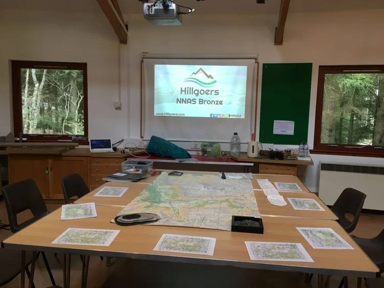
Day 1 is usually classroom / coffee shop based in the morning then outsite for the remainder of the day. Day 2 is all outside and you may be walking around 10-12 km with some up-hill sections.
Joining Details & Kit
Joining details, participation forms and kit lists will be sent out the week before the walk.
Equipment Shop
Please have a look in our shop, we can post or deliver items to you at the event. All participants receive a 15% discount on goods (except gift vouchers, sale items and books).
Please contact us for any additional information. Terms and Conditions apply.


Not the right walk for you? Search for more scheduled events


Learn Navigation and Hill Skills
Learn how to competently and confidently navigate with Hillgoers. As a provider for the National Navigation Award Scheme (NNAS), our Mountain Leaders have been trained to teach navigation and have the NNAS Tutor Award Qualification. We will methodically teach you to navigate safety through Scotland’s hills, mountains, forests and glens.
Hillgoers' navigation courses typically consist of a short indoor session then a day or two outside, where you can immediately put into practice what you learn from the leaders.
While not a requirement, it's possible to gain a navigation qualification - Bronze, Silver or Gold from NNAS. The NNAS Navigator Awards (Bronze, Silver and Gold) are accredited by the Scottish Credit & Qualifications Framework (SCQF) at Level 4, 5 and 6 respectively and 2 SCQF credit points are awarded on completion.
Contact the team to book a bespoke session or take a look at our planned events above.